Island Bay is one of the southernmost suburbs of Wellington, the capital of New Zealand.
It lies on the Cook Strait (the band of water between the north and south islands) - and is situated 7km south of the city centre.
Island Bay is settled on the bay which shares its name, one of numerous small bays that lie to the west of the large indentation of Lyall Bay.
There are 11 pics in this week's "CAM". Click on the image for a larger view. Previous posts can be viewed by clicking on the "Archives" section to the right. Once I figure out how to name the archive posts you will be able to see each specific post name rather than just dates...
Saturday, October 07, 2006


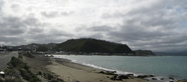
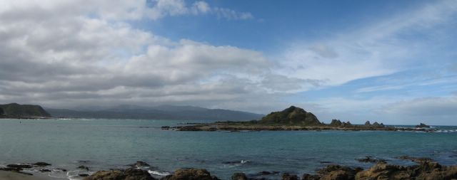

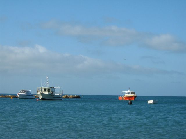
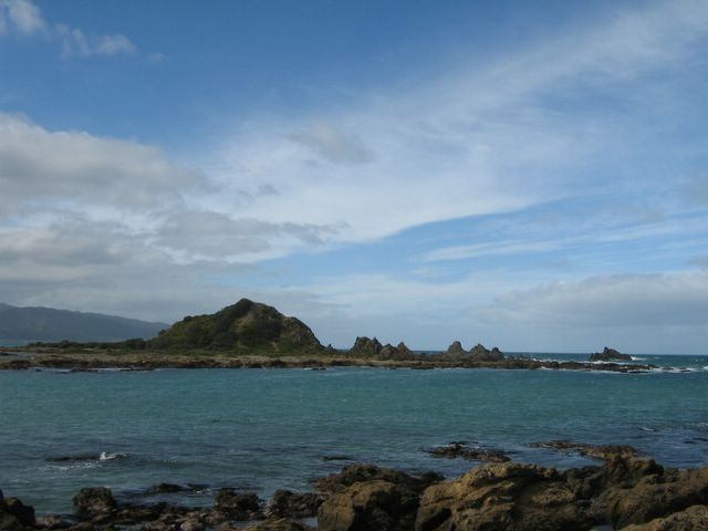
'Thunderbird Island' - well, that's what I called it until I found out the real name... Some 500m offshore in Island Bay lies small Tapu Teranga Island , a recreational reserve for which the bay is named. The caves of the island were once a hiding place for local Maori, when attacked by other tribes. This island forms a natural breakwater, giving the suburb a sheltered anchorage.


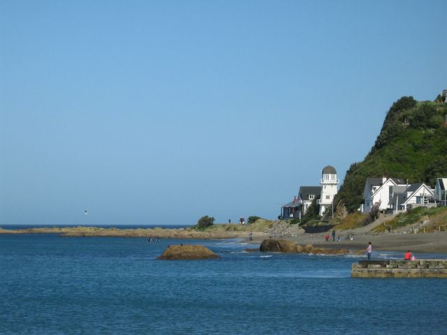
Despite appearances to the contrary, the Lighthouse was never built to serve as such. It is available for rent as bed and breakfast
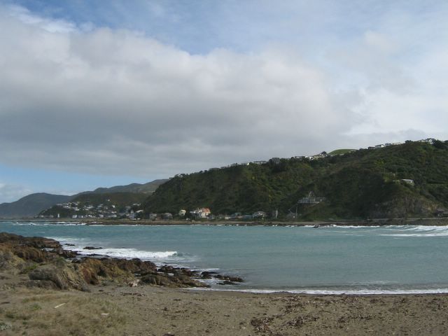
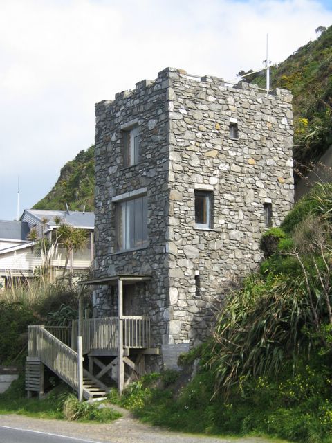
A man's house is his castle, so the saying goes. This stone "house" (The Keep
Subscribe to:
Posts (Atom)
